From Map to Dataset
Creating teaching resources from historical spatial data

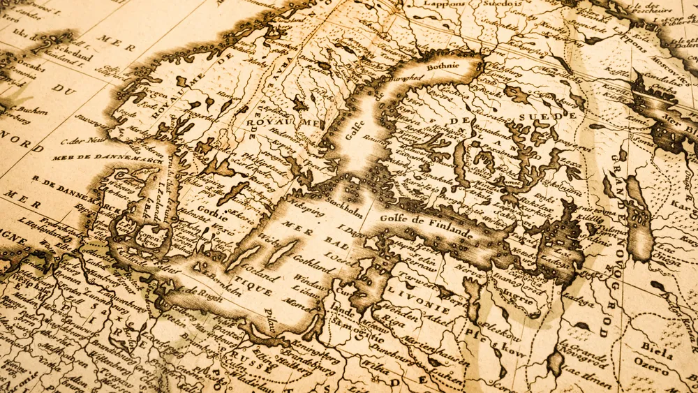
Emmanuel Kreike (History) and Tsering Wangyal Shawa (PUL) will work alongside William Guthe (Princeton Research Computing) and Carla Zimowsk (History) to create datasets from historical spatial data, including maps related to the tactical flooding by Dutch rebels fighting against Spanish forces in the 1570s, maps involving the nineteenth-century Dutch conquest of Sumatra, and aerial photographs from 1943 and 1972. The former two datasets may be placed alongside current maps to study issues of climate change and will also be used to make a computer simulation for teaching purposes.
Grants
2020–2021
Dataset Curation